Study Highlights Major Mangrove Loss in Northwest Mexico
UNAM’s Institute of Marine Sciences and Limnology (ICMyL) and Conabio documented 1,817 hectares of mangrove loss in northwestern Mexico between 2015 and 2020.
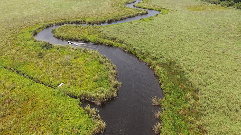
Researchers used Google Earth Engine to assess mangrove coverage across Baja California, Baja California Sur, Sonora, Sinaloa, and Nayarit through satellite imagery.
ICMyL scientists Francisco Flores de Santiago and Francisco Javier Flores Verdugo worked alongside Conabio specialists to process data from the European Space Agency’s Sentinel II satellite, which captures images every five days.
Google Earth Engine facilitated the analysis of extensive datasets, enabling detailed study of mangrove species such as Rhizophora mangle, Avicennia germinans, and Laguncularia racemosa. Field verification further ensured the accuracy of the digital analysis.
Flores de Santiago noted that while mangrove mapping typically occurs quinquennially, Google Earth Engine enables more precise and efficient analysis.
The study’s findings underscore the impact of human activity and climate change on mangroves—ecosystems critical for biodiversity, coastal protection, and carbon sequestration. These results provide valuable insights for developing conservation and sustainable management strategies.